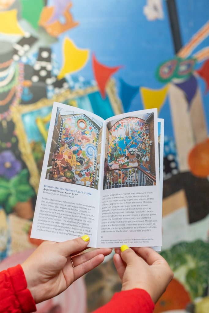
Murals are indicators of both place and time. During the 1970s and 80s, London became an important centre for mural production. Murals from this period represent the political climate, social context and communities who collaboratively made them. These qualities define the murals that populate Brixton today. However, as London is further developed, many murals are being damaged or destroyed. The surviving murals reveal the rapid change London has undergone in the past few decades, but they have not received the same recognition, protection and conservation as other public artworks or heritage sites in the city.
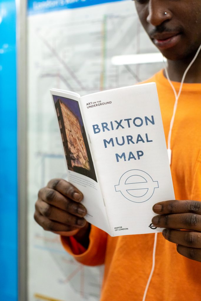
This Mural Map shares the stories behind Brixton’s murals and makes these overlooked public artworks more visible.