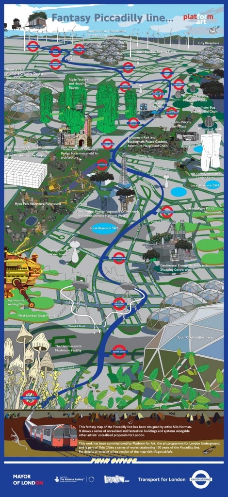

This fantasy map of the Piccadilly line was designed by artist Nils Norman. It shows a series of unrealised and fantastical buildings and systems alongside other artists’ unrealised proposals for London. The map was part of a series of projects for the Piccadilly line, called Thin Cities, commissioned as part of celebrations to mark the centenary of the Piccadilly line in 2006.
You can download Nils Norman’s map for free by following this link. The map appeared on every carriage of every Piccadilly line tube train for 6 months across the summer of 2007, providing an alternative to the current maps where tourist destinations dominate the landscape.
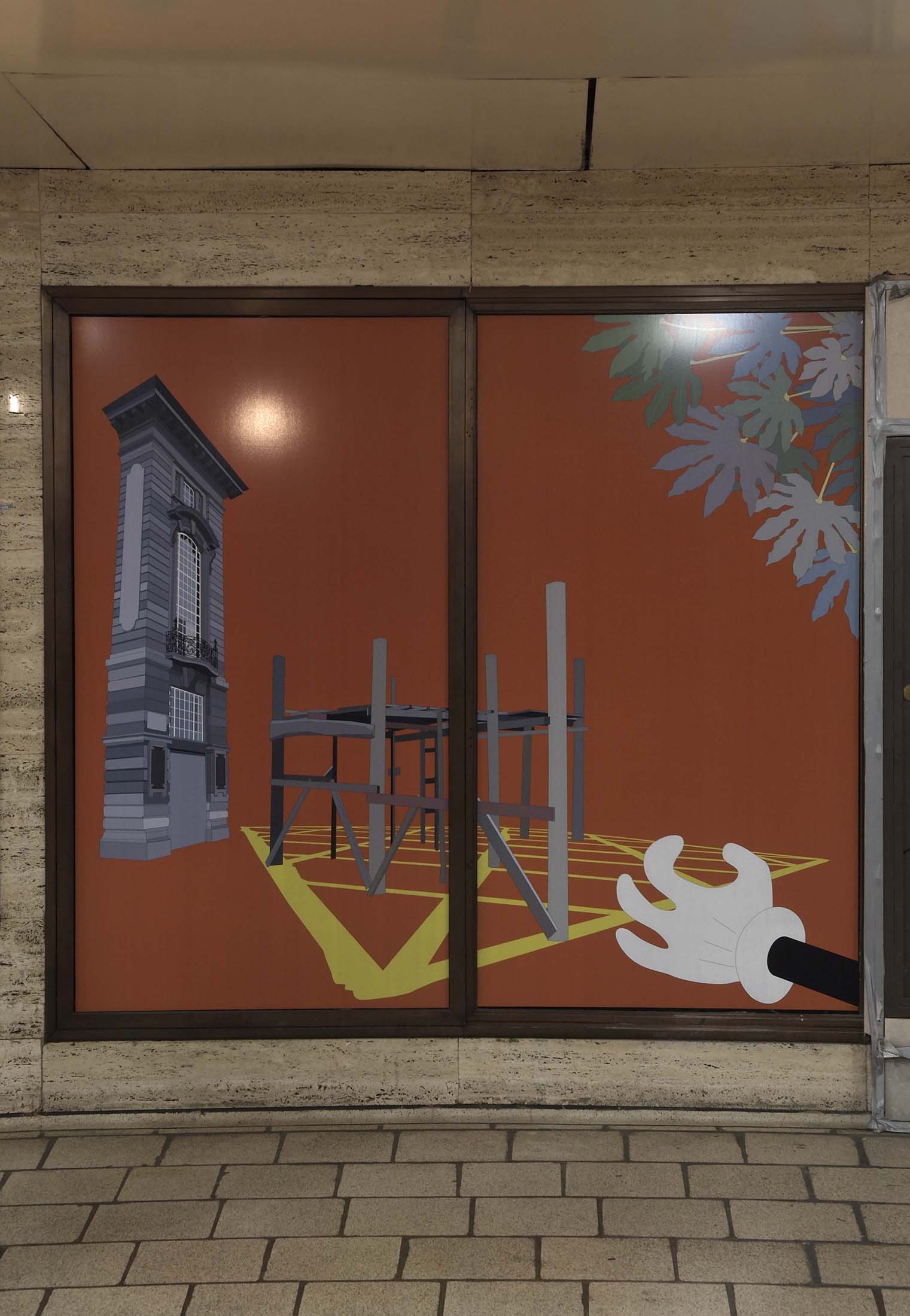
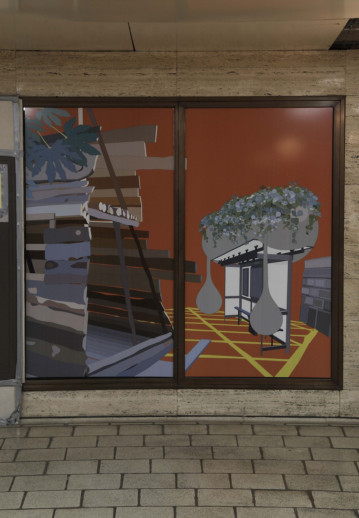
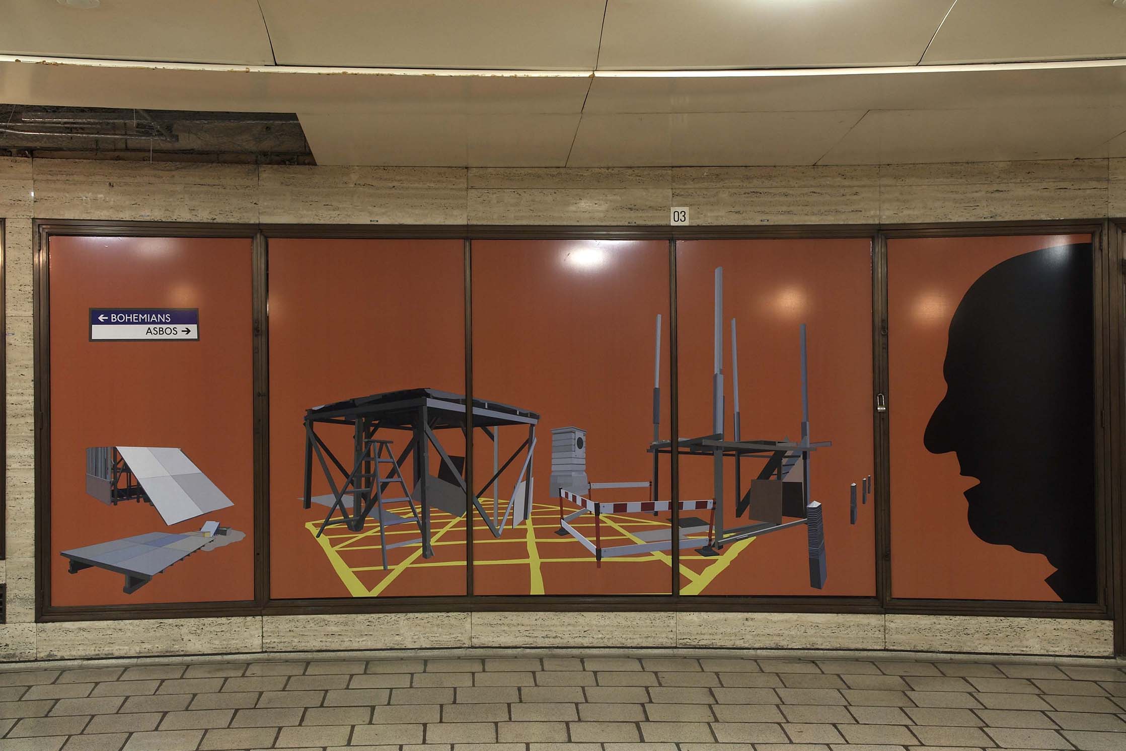
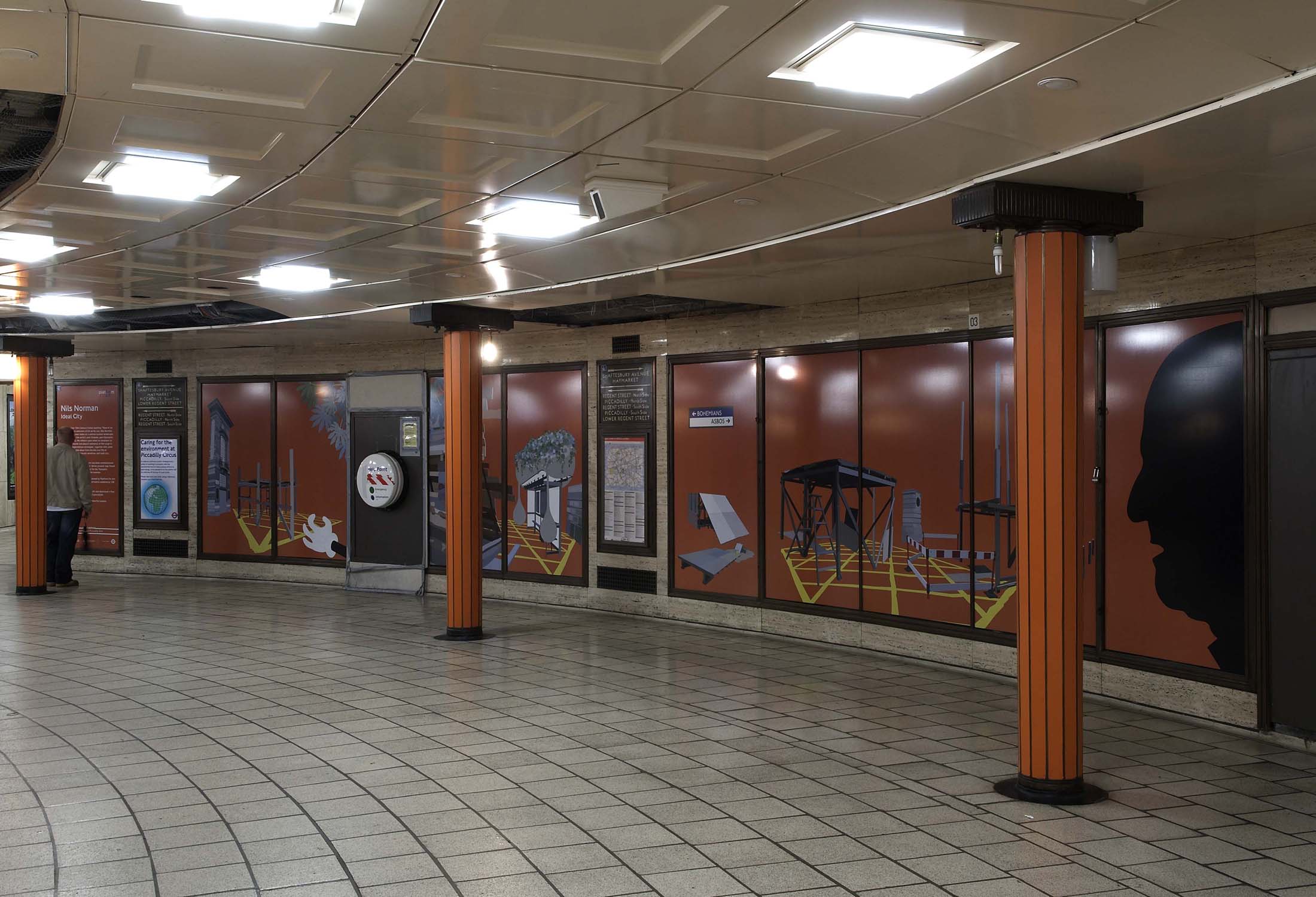
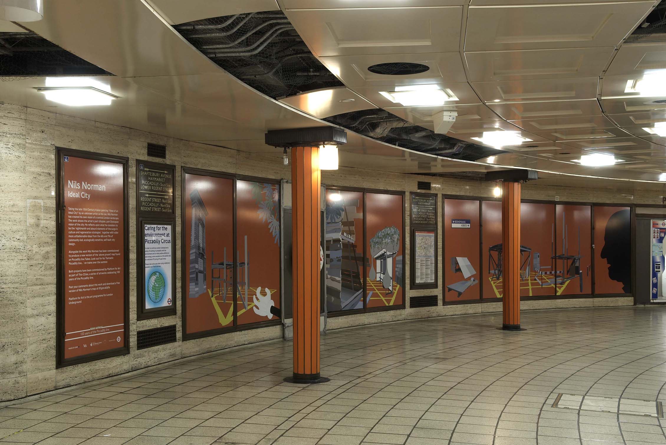
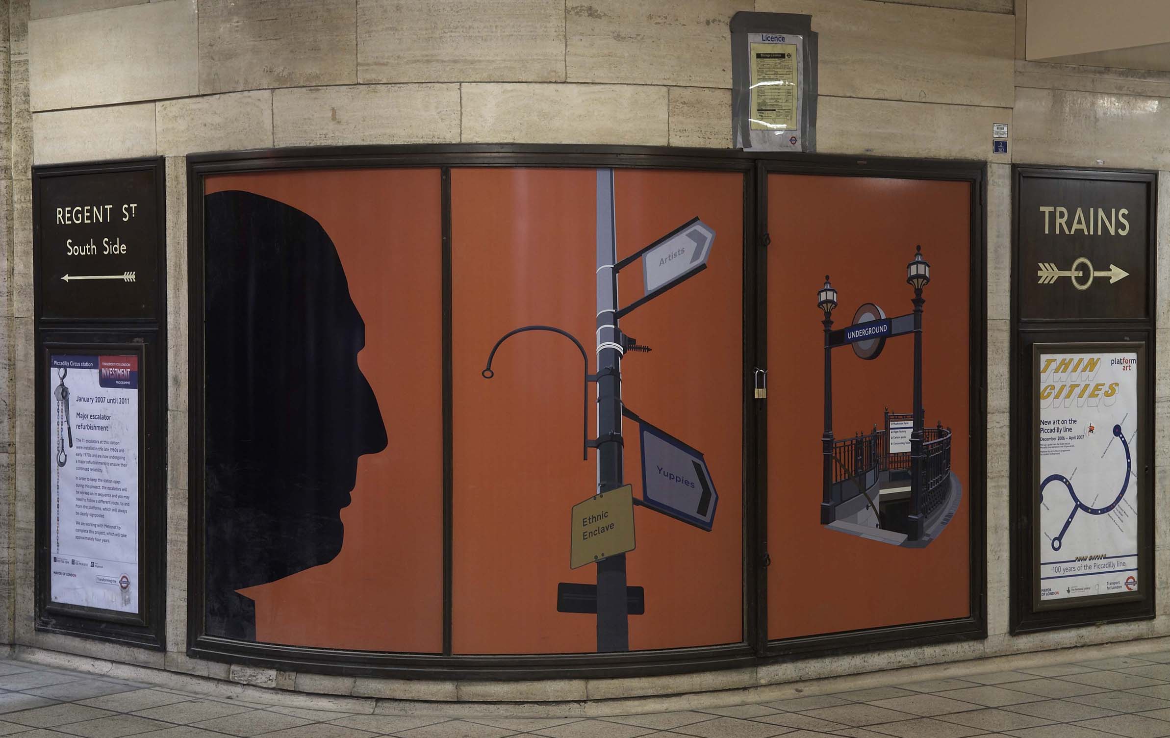
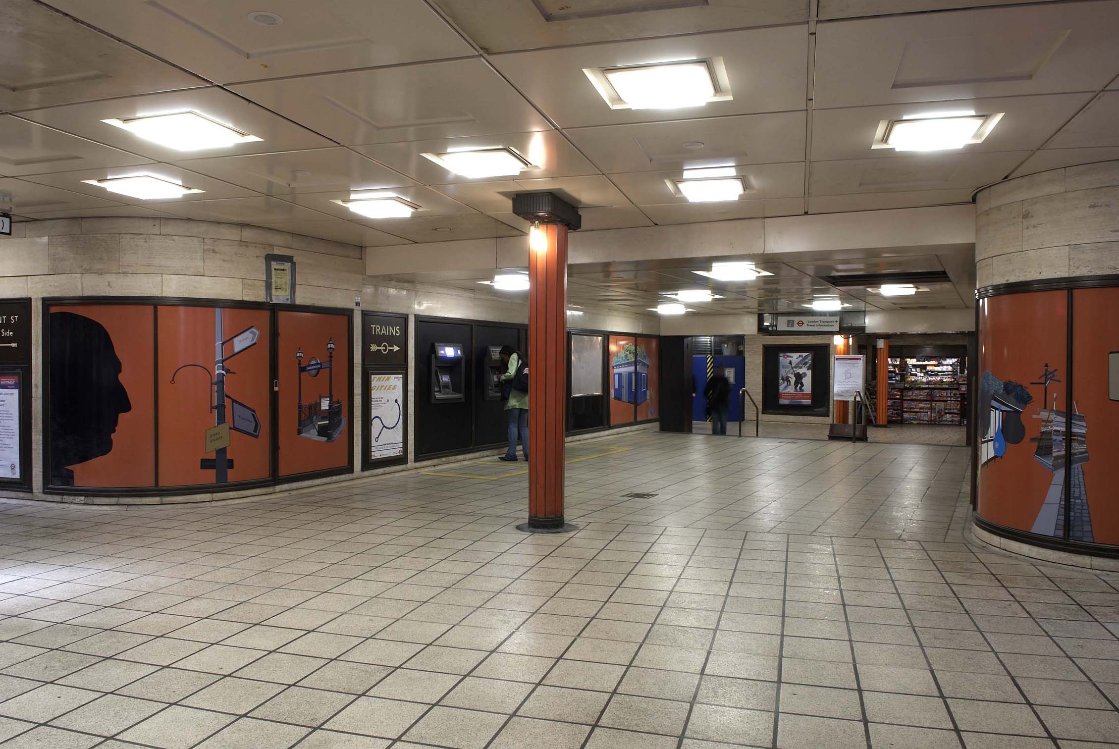
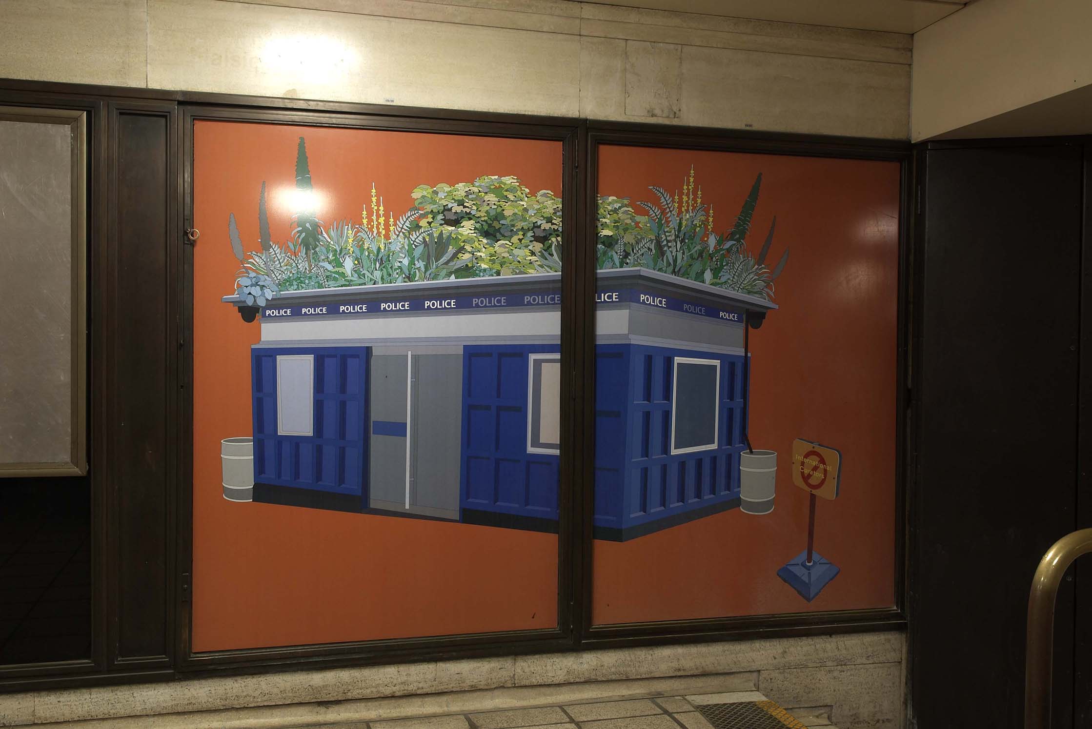
Nils Norman was also commissioned to make a new work for Piccadilly Circus. The piece took the form of a mural transforming the landscape in the vicinity of the station. To see images of the exhibition in situ, scroll along the bar at the top of this page.
Thin Cities responded to the theme of past, present and future and was inspired by the travels of the 14th Century explorer Marco Polo, as retold in the book Invisible Cities by Italo Calvino. Each artist commissioned for Thin Cities engaged with a different aspect of the Piccadilly line and its history, resulting in a site specific group exhibition on a grand scale. As explorers and storytellers themselves, the artists revealed new perspectives on London through their artworks.
Artists included Richard Woods, Jim Isermann, Rut Blees Luxemburg and Keith Wilson. To find out more go to the Thin Cities site